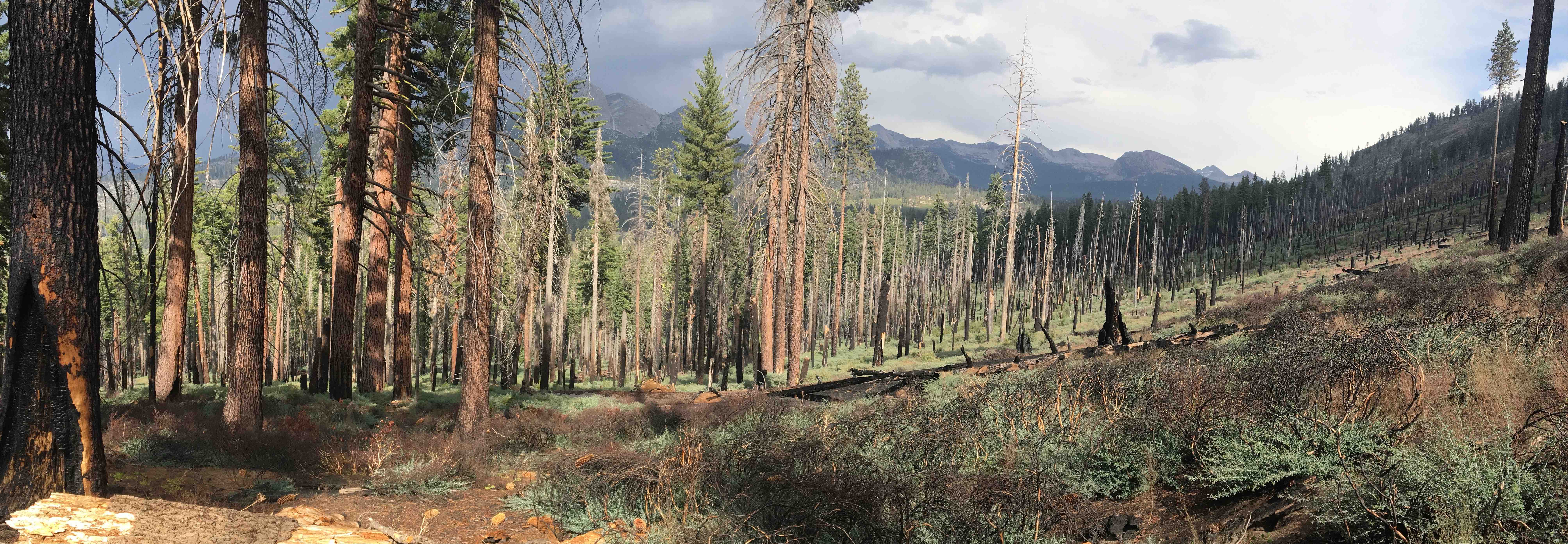
Recent work has focused on developing a general functional diversity approach to quantifying and mapping pyrodiversity (i.e. variation in fire regime “traits”). We’ve applied this method across forested ecosystems of the Western United States using remotely-sensed fire history data and Google Earth Engine, and tested the socio-ecological drivers of pyrodiversity. The resulting publication, novel method, and associated data products are intended to facilitate testing of the theory that “pyrodiversity begets biodiversity” across regions, taxa and fire regimes. Assessments of trends in North America pyrodiversity, and potentially trade-offs between pyrodiversity and other resources (e.g., carbon storage) are ongoing.
In previous work in landscape fire I have used satellite-derived measures of burn severity (RnDBR), and historical fire perimeter data to assess how fire severity is influenced by previous fire history, and how landscape patterns of burn severity matrices are changing over time in response to climate change and forest management/fire suppression. This work has resulted in two publications, which can be found here and here.
